Length of Trip : 3 – 7 Days
Cost : Depends on the quality of hotels and restaurants you choose to dine in. To see Park Canada’s rates for Cape Breton Highlands National Park click here
Best time to go : June to September
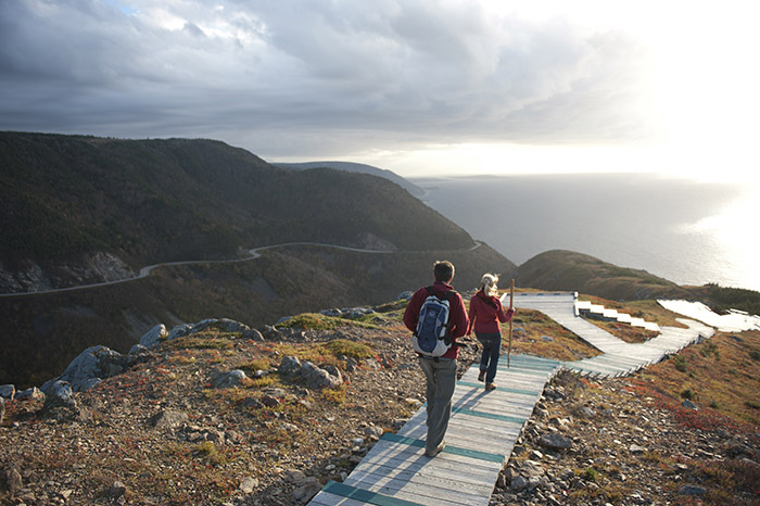
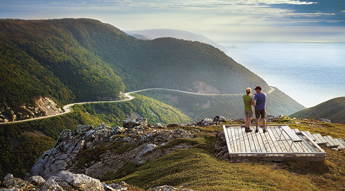
Wheelchair friendly : Yes
Family friendly : Yes
Where to eat : Here’s what he folks on Chowhound recommend: Baddeck Chanterelle Inn Pleasant Bay The Rusty Anchor Ingonish Coastal Waters Main Street Seascape Cabot Links Golf Course Keltic Lodge Cheticamp Hometown Kitchen Mabou The Red Shoe
Official Site : Cape Breton Highlands National Park www.cabottrail.com
Where to Stay : Click here for a complete list of accommodations available in the different communities along the Cabot Trail.
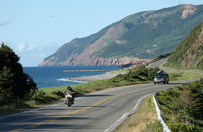
Getting There : Cape Breton Island is accessible by land, sea and air. Since it’s a loop trail you can enter from either the west or east and make your way around. Cape Breton Island is linked to the mainland by the Canso Causeway, part of the Trans Canada Highway
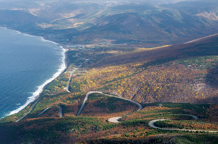
Note from Robin : Choose your driving direction wisely: If you travel in a clockwise direction, you’ll be on the inside lane as you drive along both coasts, better suited for drivers and passengers who dislike driving next to steep cliffs. Driving counter-clockwise offers better views of the ocean, and since it is less popular, those who don’t like slow traffic might find it preferable.
 Overview
 Gallery
  Map
Map